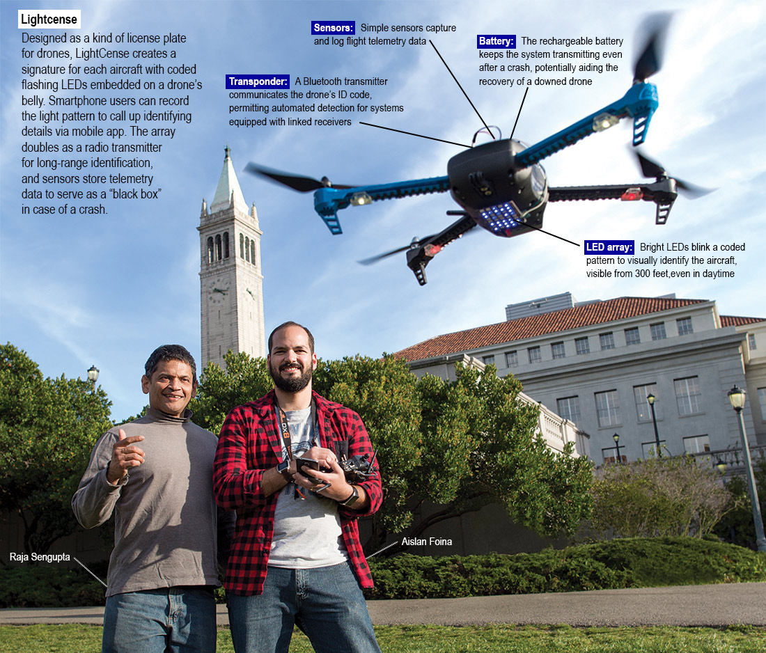
 Photo by Noah Berger; graphics courtesy Responsible Robotics
Making unmanned flight safe
This spring, the Federal Aviation Administration (FAA) announced that registered unmanned aircraft operators now outnumber licensed manned aircraft pilots.
“No systems used to identify regular aircraft today are suitable for drones. that’s why we moved to this very cheap, low-power, low-weight solution, anticipating that soon the FAA will require that drones have their own identification system.”
– Aislan Foina | postdoctoral researcher and co-founder of Responsible Robotics
Raja Sengupta, professor of civil and environmental engineering and co-founder of the startup company Responsible Robotics, heads a team spun out of the Cal Unmanned Aviation Lab that is creating new technologies that enable drone operators to easily comply with emerging regulations.
Sengupta draws parallels between the current drone regulatory environment and the early days of manned aviation, when stunt pilots and entertainers known as barnstormers flew overhead freely until business leaders convinced the federal government to regulate air travel. Today, a new generation of entrepreneurs sees opportunity in the sky.
To foster the safe development of a new industry, drone manufacturers, enthusiasts and regulators are trying to strike the right balance between access and accountability. Responsible Robotics has launched several products to meet that need.
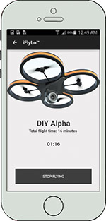 iFlyLo
The FAA’s new unmanned aviation regulations require that drone pilots maintain a flight log, which is where the iFlyLo app comes in. At takeoff, operators open the app and track important flight data, like location and air time. Drone operators and observers on the ground can use the app to identify nearby unmanned aircraft, share information and report accidents.
Control Your Space
The FAA controls all of the nation’s airspace above 500 feet. But the rules and best practices for what happens below that ceiling — the prime space for unmanned aircraft — is less clearly defined. The desktop, map-based application Control Your Space allows drone operators to keep tabs on local and national regulations in a specified flight area as well as privacy restrictions on a piece of property. The interface lets drone operators develop flight plans based on permissions and access. As the name implies, Control Your Space also lets homeowners decide to open or close the airspace above their homes, and even charge for access.

