Dam scanning

The Hume Lake Dam, which sits in the Sierra Nevada about 50 miles east of Fresno, was built in 1908 as the world’s first multiple-arch reinforced concrete dam. It’s one of 1,400 aging dams in California. With last year’s failure of the overrun spillway at the much larger (and more recently constructed) Oroville Dam, interest in assessing the state’s aging infrastructure has taken on a renewed urgency.
To accurately evaluate the health of the Hume Lake Dam, civil and environmental engineering (CEE) professor Robert Kayen has been gathering data about the structure with the assistance of CEE undergraduate students Tamika Bassman and Katherine Cheng.
“We used a terrestrial laser system called lidar [light detection and ranging] to scan the surface of the dam. The first thing we learned was that the dam is in very good shape,” Kayen said. “It was much stiffer in the response to water pressure against the face of the dam than expected.”
“The other thing we learned,” he continued, “which was a big surprise, was that when the dam reservoir was full, we expected the pressure to push the dam downstream, to cause a rotation downstream. In fact, what happened was that the dam tilted slightly upstream between one and four millimeters, which led us to go hunt for the error.”
Bassman and Cheng were tasked with investigating the unexpected result. The team decided to use the Berkeley campus landscape to test measuring techniques and figure out the most accurate way to manage their data from the Hume Lake site.
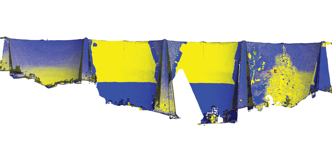
To get scans of the campus, Bassman and Cheng loaded a cart with roughly 100 pounds of laser equipment and made their way to the top of campus buildings (including the Campanile) to capture the university’s various views and angles. In all, they made 25 individual scans of campus, collecting millions of data points that they stitched with software into a 3-D model. Collection of the campus data helped the team devise a registration system using white circular reflectors, like the kind used on traffic signs. “We tested just picking points to take measurements, or measuring from reflector to reflector,” Cheng said. “We found that reflectors had a lower error.”
“We realized that we could get the best measurements from reflector-to-reflector distances between the control and the actual dam,” Kayen said. “We learned that here on campus, not up there.”
